
Blue Ridge Parkway closures, mapped by milepost, plus peak fall color by elevation: 6,000 ft peaks turn late September, valleys into early November.
Most of the Blue Ridge Parkway is open, but not all of it. The longest continuously drivable stretch in North Carolina runs 114 miles from just north of Asheville south to Cherokee, and it happens to contain the highest point on the entire road. That's where you want to be for fall color, and where you point the car depends on the week.
Quick answer
Is the Parkway open? Mostly. As of September 15, 2026, the Blue Ridge Parkway is open end to end except for a Helene-damaged zone between MP 317.5 and MP 355.3 in North Carolina plus four short, signed mainline closures and two closed spur roads elsewhere. Status changes during active repair work, so check the live NPS Blue Ridge Parkway road closures page the morning you drive.
The stretch to drive: MP 355.3 to MP 469, about 114 continuous miles, Ridge Junction to Cherokee, North Carolina.
Where the color is: it starts on the highest peaks in late September and walks downhill through October. Above 4,000 ft peaks early to mid-October; below 4,000 ft peaks mid-October into early November, per the National Park Service.
Highest point on the road: Richland Balsam Overlook, MP 431.4, at 6,053 ft, and it sits on the open segment.
Closed sections are not optional. NPS states access and recreation inside them are prohibited, because landslide and debris hazards are still present.
First, What Helene Changed
Hurricane Helene hit western North Carolina in late September 2024. More than 100 people died in the state. Helene caused roughly $1.7 billion in damage to the Parkway alone, per Blue Ridge Public Radio's coverage of Superintendent Tracy Swartout's March 2026 briefing to the Governor's Recovery Office for Western North Carolina. The National Park Service identified at least 57 landslides across nearly 200 miles of road in North Carolina.
Crews have reopened most of it. The first repair phase alone covered 12 repairs in eight geographic areas and restored more than 48 miles of road. Some sections are still closed, and the NPS language on those isn't soft: access and recreation inside them are prohibited, because landslides and debris are still there. Respect the gates. Everything below routes around them.
Explore Asheville, the region's tourism body, puts it plainly: "Asheville is open. Asheville is thriving." The River Arts District, one of the hardest-hit areas, is operating again with roughly 750 artist studios and galleries. Recovery is also uneven, and hotel occupancy hasn't caught back up. Both things are true at once.
Blue Ridge Parkway Closures: What's Open Right Now
Road status as of September 15, 2026. Repairs are active and the map changes, sometimes mid-day. Check the NPS Blue Ridge Parkway road closures page the morning you drive. That page is the only source worth trusting on the day, including over this one.
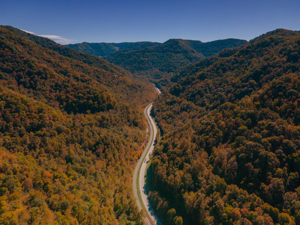
A two-lane road threads an autumn valley. Photo by Nils Huenerfuerst on Unsplash
Mileposts | State | Length | Status on September 15, 2026 |
|---|---|---|---|
MP 63.5-63.9 | VA | 0.4 mi | Closed for James River bridge rehabilitation. Detour signed MP 61.4-64 |
MP 115-120 | VA | 5 mi | Closed for maintenance between US-220 and Adney Gap. Access maintained to nearby areas |
MP 120.3 | VA | spur | Roanoke Mountain Loop, closed until further notice |
MP 274.3-276.5 | NC | 2.2 mi | Closed for Deep Gap Bridge repairs. Detour signed MP 269.8-276.5 |
MP 299.9-302.8 | NC | 2.9 mi | Closed for Great American Outdoors Act work, Boone Fork to Rough Ridge. Overlooks reachable from one direction |
MP 317.5-327.5 | NC | 10.0 mi | Closed, Helene damage. Recreation of any kind prohibited |
MP 333.9-342.1 | NC | 8.2 mi | Closed, Helene damage. "Access of any kind is PROHIBITED" |
MP 344.2-355.3 | NC | 11.1 mi | Closed, Helene damage |
MP 367.6 | NC | spur | USFS Road 63 (Stoney Fork Access Road), closed until further notice behind a Forest Service gate. Spur only, the Parkway mainline past it is open |
MP 355.3-469 | NC | 114 mi | Open and continuous, Ridge Junction to Cherokee |
Road status verified against the NPS Blue Ridge Parkway road closures page on September 15, 2026, the same date that page was last updated by the park. 29.3 of the closed miles are unrepaired Helene damage between MP 317.5 and MP 355.3. NPS warns that status is subject to change during the day. Re-check before you drive.
The stretch between MP 317.5 and MP 355.3 is the one to understand. It holds Linville Falls, Little Switzerland and the Mount Mitchell approach, and it's currently broken into disconnected closed segments. Three short pockets inside it are open, MP 327.5-330.9 (which reaches the Orchard at Altapass), MP 330.9-333.9 and MP 342.1-344.2, but getting to any of them means leaving the Parkway for US-221, NC-226, NC-80 or US-19E. The Linville Falls spur road, campground and visitor center are closed. Don't plan a drive through there.
Two repair phases target that zone: Phase 2 covers 21 landslide areas around MP 318.2-323.4 south of Linville Falls, and Phase 3 covers more than 23 sites between MP 336.7 and MP 351.9. NPS gives Phase 2 a fall 2026 completion target, and lists fall 2026 as a target for Phase 3 as well, with the caveat that the Phase 3 reopening date depends on contracting and construction timelines still to be settled. The NPS recovery page carrying those targets was itself last updated in July 2025, so treat the phasing as direction of travel and the live closures page as fact. If Phase 2 lands on schedule, more of that stretch could reopen during leaf season.
The 114 Open Miles, by Elevation
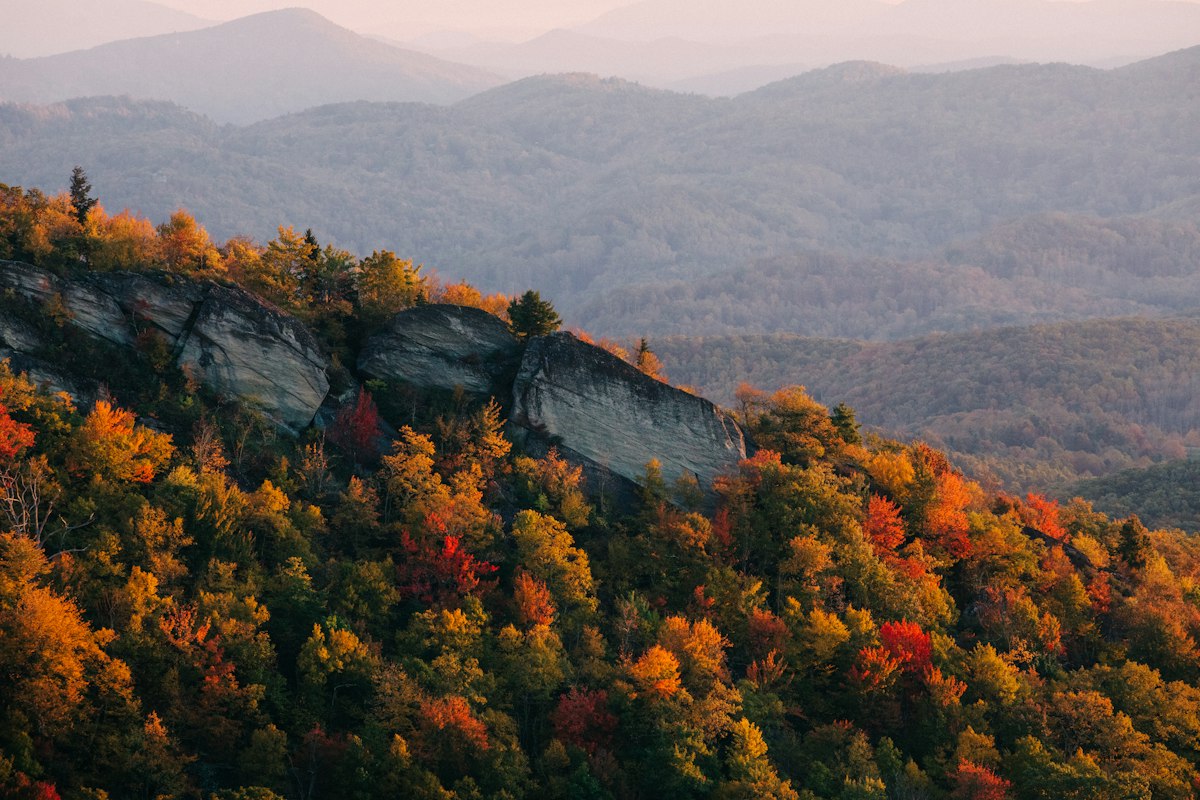
Ridges fade into haze behind a rocky outcrop. Photo by Wes Hicks on Unsplash
Here's the useful part. Richland Balsam Overlook, at milepost 431.4, sits at 6,053 feet and is the highest point along the Blue Ridge Parkway motor road, according to the National Park Service. You'll see 6,047 ft quoted on plenty of sites; NPS says 6,053 ft, and NPS owns the road. From there the open segment drops to roughly 2,000 ft near Asheville.
That 4,000-foot spread is the whole trick, because color doesn't arrive everywhere at once. The National Park Service at Blue Ridge Parkway describes the pattern directly: at higher elevations, "scattered trees sometimes begin developing fall color as early as late-September," and the majority of trees turn "during the month of October, starting early in the month on the highest peaks and progressing down the mountainsides into the lower elevations as the month passes."
The National Park Service in Great Smoky Mountains gives the cleanest numeric split: fall colors typically develop above 4,000 feet from early to mid-October, while the most brilliant displays below 4,000 feet occur between mid-October and early November. Run those two windows end to end and the usable season is about six weeks, which is why you can visit the same 114 miles three weeks apart and see a different road.
The popular rule of thumb, widely attributed to Dr. Howard Neufeld, the Appalachian State University biologist known as the Fall Color Guy, is that peak color slides roughly 1,000 feet down in elevation every week to ten days. Treat that as a planning heuristic rather than a measurement, since published sources differ on the exact rate. The direction and rough pace are what you plan a week around.
Neufeld's own explanation for the long season is worth carrying: the southern Appalachians hold a high diversity of plant species, so instead of a few dominant trees turning together the way they do in New England, color here comes in staggered and individualized.
Elevation band | Where it is on the open MP 355.3-469 stretch | Typical peak window |
|---|---|---|
The Parkway's highest overlooks | Richland Balsam Overlook (MP 431.4, 6,053 ft), Waterrock Knob (MP 451.2) | Scattered color from late September, best in the first half of October |
Above 4,000 ft | Mount Pisgah (MP 408.6), Graveyard Fields (MP 418.8), Devils Courthouse (MP 422) | Early to mid-October |
Below 4,000 ft | Asheville basin (roughly 2,000 ft), the valley towns, the approach from Cherokee | Mid-October into early November |
Peak windows from NPS Great Smoky Mountains and NPS Blue Ridge Parkway. Elevation for Richland Balsam per NPS. Mileposts are Parkway markers, not elevations. Peak shifts year to year with weather.
So the drive plans itself. Early October, start high: run south from Asheville and spend the day between MP 408 and MP 451, where Mount Pisgah, Graveyard Fields, Devils Courthouse, Richland Balsam and Waterrock Knob sit in a row. Mid-October, work the middle of that band. Late October, drop toward Asheville and the lower valleys, where the show is just getting going. NC State Extension cites Michael Denslow's estimate of October 24-31 for peak in Henderson County, a good anchor for the low band.
One honest caveat, straight from NPS: "the exact dates of 'peak' season at specific locations along the parkway are impossible to predict in advance." Book the week, then check a live report the Wednesday before you drive. Neufeld retired from Appalachian State in 2026 and now publishes his in-season reports at fallcolorguy.org, which is the one to follow.
Pro tip: The northern 26 miles of the open segment, Ridge Junction at MP 355.3 down to Asheville, include Craggy Gardens and reopened after Helene repairs. It's the quietest good stretch on the whole southern run, because most traffic enters from Asheville heading south.
Virginia Is the Other Half of the Answer
If your color week lands before the high peaks turn, or after the low country has dropped, Virginia is the fix nobody talks about. As of September 15, 2026, per the NPS Blue Ridge Parkway road closures page, MP 0 to MP 217 is open end to end apart from two short signed detours (the James River bridge at MP 63.5-63.9 and a maintenance closure at MP 115-120) plus the closed Roanoke Mountain Loop spur at MP 120.3, and MP 217 to MP 299.9 in North Carolina is open with a signed detour around the Deep Gap Bridge work. That page changes during active repair work, so re-check it rather than this paragraph on the day you drive.
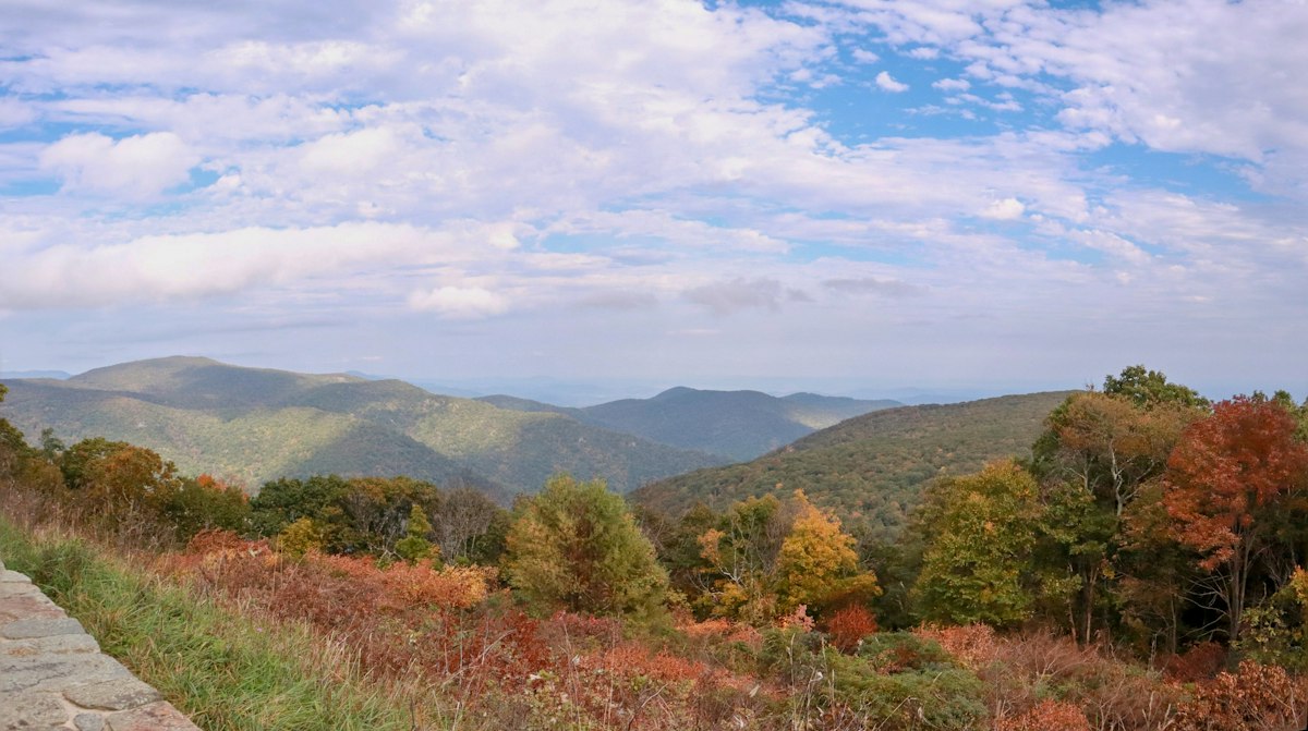
A stone wall edges an overlook above the ridges. Photo by Venkatesan P on Unsplash
Virginia runs lower and further north, which shifts its timing rather than removing it. Fly into Roanoke and you can drive a long, uninterrupted piece of Parkway without touching a Helene closure at all. Roanoke is a smaller market than Asheville, so it pays to know how to find cheap flights before you commit to dates.
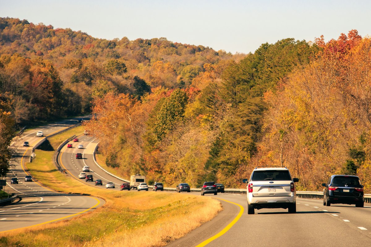
Cars move through orange roadside trees in Virginia. Photo by Henry Deng on Unsplash
The Smoky Mountains Are the Companion Fall Color Drive
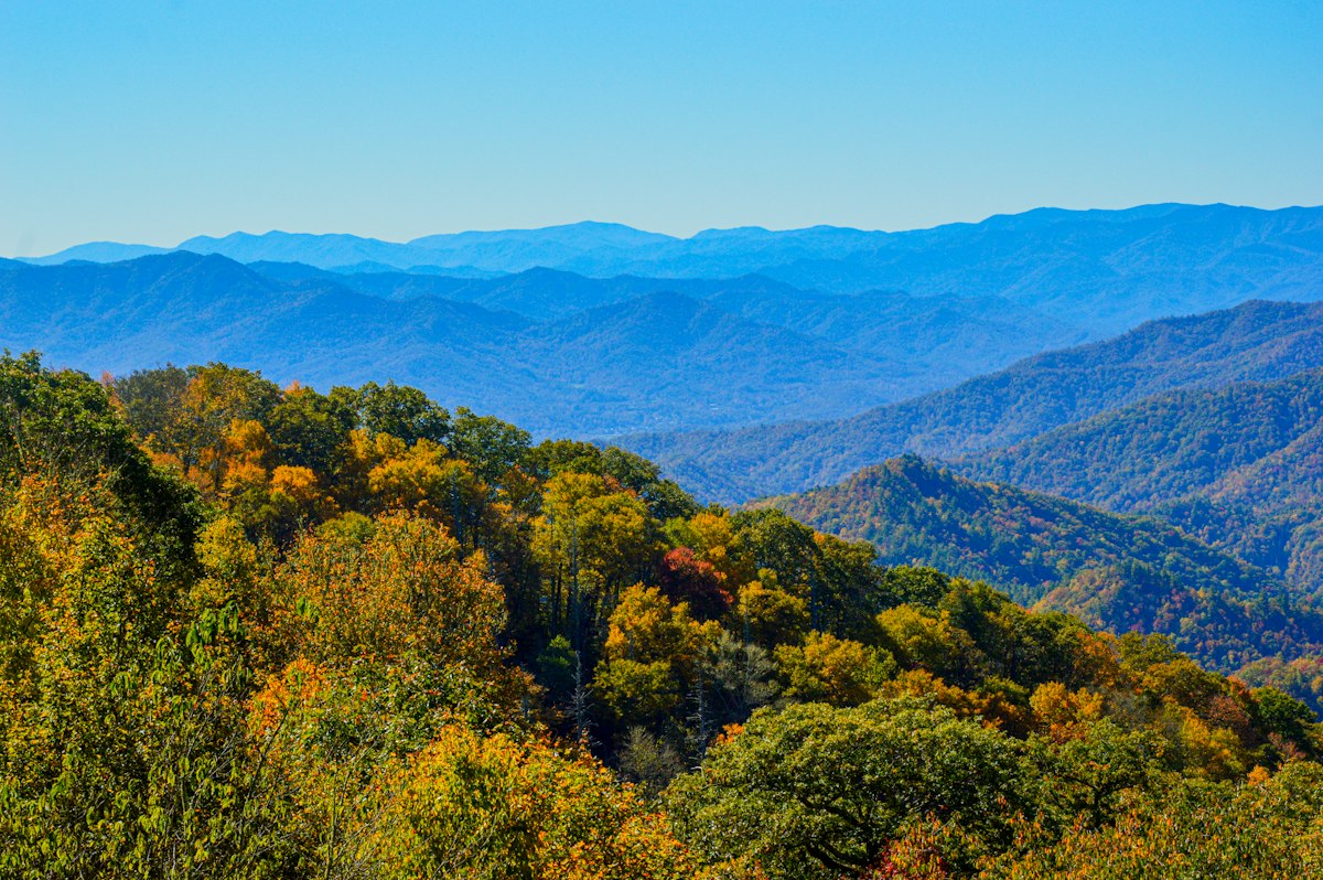
Blue ridges stack behind trees turning yellow and orange. Photo by Sourajit Karmakar on Unsplash
The Parkway ends at MP 469 in Cherokee, North Carolina, which is the eastern entrance to Great Smoky Mountains National Park. As of September 2026, the NPS current cautions and closures page lists no major road closures: Newfound Gap Road (US-441), Cades Cove Loop, Little River Road and Cataloochee are all open. Carlos Campbell Overlook is temporarily closed while crews assess pavement cracking, which costs you about thirty seconds.
Kuwohi (formerly Clingmans Dome) is the park's highest peak and the name to use. The Cherokee name, meaning "mulberry place," was restored in September 2024 at the formal request of the Eastern Band of Cherokee Indians. The summit road closes seasonally for winter, so check status if you're going late.
A few logistics that catch people out:
Item | What you need to know |
|---|---|
Parking tag | Required for any vehicle parked longer than 15 minutes, anywhere in the park |
Cost | $5 daily, $15 weekly, $40 annual. Vehicles with state-issued disability placards or plates are exempt |
Where to get one | recreation.gov, buy and print at home before you arrive |
Timed entry | There is none. Great Smoky Mountains does not use a timed entry system |
Parking tag details per the NPS Great Smoky Mountains fees page, last updated September 3, 2026.
How to Drive Leaf Season Without Losing the Day
NPS says it flatly: October is the busiest month of the year in Great Smoky Mountains National Park, travel times inside the park can run hours longer than usual, and popular parking areas fill early. On the Parkway the math is tighter right now, because the same number of leaf travelers are spread across fewer open miles. Four things that actually work:
Go on a weekday. Tuesday through Thursday on the southern Parkway is a different road than Saturday.
Start at sunrise. Overlook lots between MP 408 and MP 451 fill by mid-morning on October weekends.
Have a second overlook in mind. If Graveyard Fields is full, Devils Courthouse is three miles south.
Fuel up first. There are no gas stations on the Parkway itself.
Pro tip: Download offline maps before you leave Asheville. Cell service on the high sections between Mount Pisgah and Waterrock Knob is unreliable at best, and the closure detours run on secondary roads where you'll want turn-by-turn.
Getting There: Flights, Beds and Wheels
Plenty of people skip flying and drive in from Atlanta, Charlotte or Raleigh, and if you're weighing that call, we ran the numbers on whether it's cheaper to drive or fly. If you're flying, three airports work. Asheville Regional (AVL) puts you twenty minutes from the Parkway and is the obvious choice. Knoxville (TYS) is the play if you want to lead with the Smokies. Charlotte Douglas (CLT) is usually cheapest and adds about two hours of driving. Zenvoya can handle flights into any of the three and the hotel at the other end in one conversation, which matters when you're holding a flexible color week together.
A car is not optional. There's no transit on the Parkway and no shuttle, so book directly with Enterprise, Hertz or Avis and reserve early, because AVL's fleet is small and October empties it. Asheville hotels put you at the north end of the open segment, and October is the most expensive month of the year to book there, so it's worth reading how to find the lowest hotel rates before you lock a week. Cabins around Asheville, Maggie Valley and Gatlinburg live on Airbnb and VRBO, and campgrounds go through recreation.gov months out for October.
Ready to Plan Your Blue Ridge Parkway Fall Trip?
The hard part of this trip isn't the driving. It's holding a plan loosely enough to move when the color does, which is what falls apart across fourteen browser tabs. Map the flights and hotel nights with Zenvoya's AI trip planner, then let the foresters tell you which week to aim at. And if the closure map doesn't line up with the week you actually have off, the best fall travel destinations roundup covers places that peak on a different schedule.
One Last Thing
If you only get one day, take the run between Mount Pisgah and Waterrock Knob in the first half of October and start before 8 AM. You'll get the high band at its best, the overlooks to yourself for the first hour, and a sense of why 4,000 feet of elevation change makes this a better color drive than anywhere flatter.
And check the closure page before you leave the hotel. The road is still being rebuilt, and what's open today isn't necessarily what was open last week.